Explaining Feature Extraction
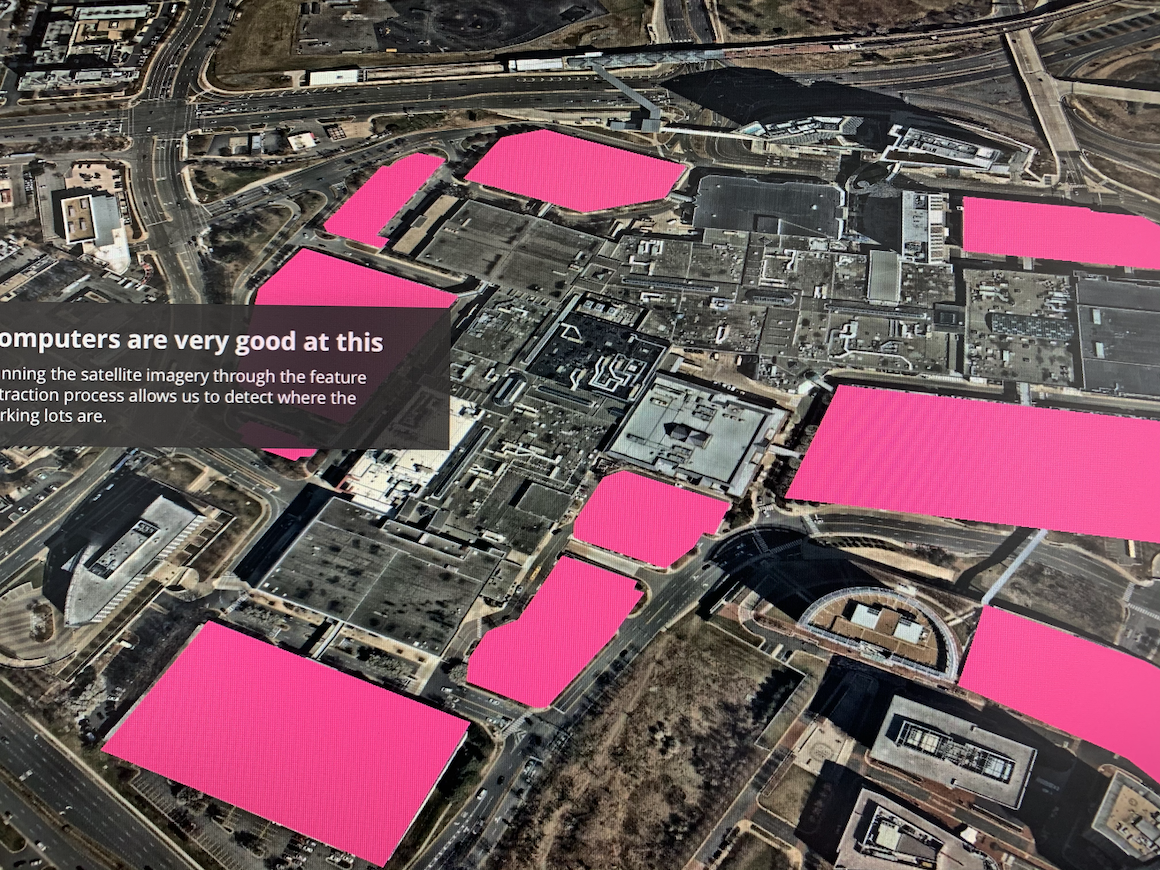
We needed to explain the benefits of Feature Extraction. Why would you use it? What is it good for? Feature extraction does things that are very difficult for humans to do when scaled up. Specifically things like recognizing objects and areas in images. We wanted to show how useful it would be to use this technique with satellite imagery, and the best way to do that was to do it in a map.
Using a scrolly-telling story
The scrolly-telling method allows you to present a story in sections. These sections would have a few words of text, and a corresponding map view to carry the message to the viewer. You’ve likely seen these types of webpages in the New York Times and National Geographic. There’s some really helpful source code that you can use to create your own. That’s what I used to build this one.
Feature extaction
You can review the feature extraction story here.
Make your own with the Storytelling Source Code