Visualizing hospital locations in the USA
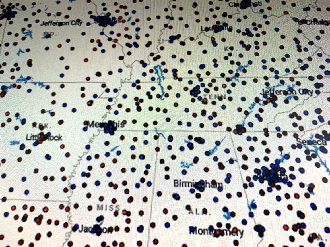
Data.gov provides a dataset of hospital locations in the United States. I wanted to see what this looked like, so I pulled the data,and built out a web page that allows you to look at these locations on a map.
The dots are colored based on the number of beds that are in that location. You can zoom in, and the map will update the list on the left, that provides you with a bit more detail on the hospitals on the screen.
This can be used by people to see where all the hospitals are in the US.
